

Your Digital Navigator: Top Swiss Map Apps
Ready to dive into the breathtaking Swiss landscapes with the ultimate digital companion? The official swisstopo app, available on both iOS and Android, is your absolute must-have, offering high-resolution topographic maps of Switzerland that are simply unparalleled. For serious hikers and cyclists, this app is a game-changer, providing incredible detail, 3D flight views, and crucial offline capabilities.
While a yearly subscription for full features, including those stunning 3D flights and offline use, costs CHF 38.00, you can also grab a single-day pass for just CHF 8.00 directly within the app, perfect for that one epic hike you’ve been dreaming of. This is one of the best Switzerland travel maps you can have in your pocket, ensuring you’re always on the right path.
Beyond the trails, the SBB Mobile app is your public transport hero, seamlessly integrating detailed station maps and real-time positions for trains, buses, and even boats. It keeps you updated with live information, typically consuming only about 5-10 MB of data per hour of active use, making your journeys smooth and stress-free. Remember to always download offline maps for your planned routes, especially in mountainous regions where mobile data can be notoriously spotty, with an entire canton like Bern requiring 200-500 MB of storage in the swisstopo app.

Embrace the Outdoors: Why Physical Maps Still Rule
While digital tools are fantastic, there’s an undeniable charm and reliability in unfolding a crisp physical map, especially when you’re deep in the Swiss Alps. Imagine the satisfaction of tracing your route with your finger, feeling truly connected to the terrain. For an authentic and dependable experience, a physical hiking map from renowned publishers like Kümmerly+Frey or Hallwag is an absolute essential.
These beautifully crafted maps, typically at a scale of 1:50,000, offer an incredible overview and are incredibly robust against battery drain or signal loss. You can easily snag one for around CHF 25-35 at virtually any train station or bookstore across the country, making them readily accessible for your next adventure. They are truly classic Switzerland travel maps, offering a timeless way to explore.
Having a physical map provides a fantastic backup and a broader perspective that digital screens sometimes can’t capture, allowing you to visualize your journey’s context and surrounding areas with ease. It’s a wonderful way to disconnect just a little and fully immerse yourself in the stunning Swiss wilderness, ensuring you always have a reliable guide in hand.

Off the Grid? Stay on Track: Offline Map Essentials
Venturing into Switzerland’s breathtaking, yet sometimes remote, mountain passes and valleys means preparing for moments when your mobile signal might just vanish into thin air. Don’t let a lost connection derail your adventure; embracing offline maps is your savvy secret weapon for uninterrupted exploration.
Before you even think about hitting those trails, make it a golden rule to download your planned routes on Google Maps, Apple Maps, or, even better, the incredibly detailed swisstopo app. This proactive step ensures you have all the navigation you need, even when you’re completely off the grid and surrounded by nothing but pristine nature.
Within the swisstopo app, downloading an entire canton, like the expansive Bern region, typically requires a manageable 200-500 MB of storage, depending on the level of detail you choose. This small investment in storage space guarantees peace of mind, allowing you to confidently navigate every twist and turn without a single worry about connectivity.
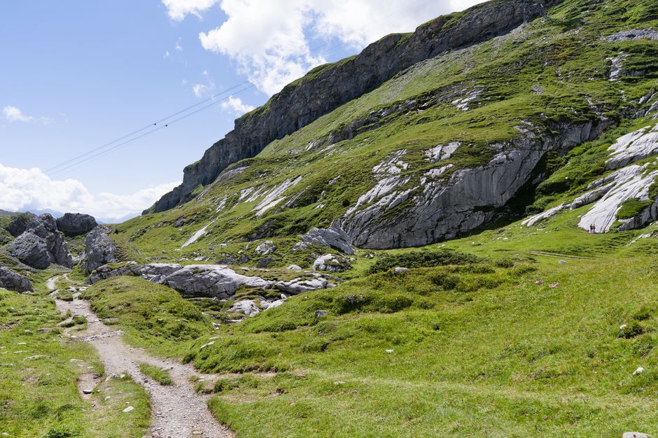
Decoding the Trails: Your Guide to Swiss Signposts
As you embark on your Swiss explorations, you’ll quickly fall in love with the country’s meticulously maintained and incredibly clear trail system. Keep your eyes peeled for the distinctive yellow diamond-shaped hiking trail signs; these iconic markers are your trusted friends on every path, guiding you through forests, over alpine meadows, and past cascading waterfalls.
What makes these signs truly exceptional is their consistent marking on all official swisstopo maps, creating a seamless navigation experience between your digital or physical map and the real world. They are universally reliable for navigation across the entire country, pointing you towards your destination with unwavering accuracy and often indicating estimated walking times.
These signposts are more than just directions; they are a testament to Switzerland’s commitment to outdoor enthusiasts, ensuring that every step you take is confident and enjoyable. Trust these vibrant yellow guides to lead you to unforgettable vistas and hidden gems, making your Swiss adventure truly effortless and deeply rewarding.