
Your Digital Compass: Navigating Ireland’s Roads & Routes
Get ready to hit the road and explore the Emerald Isle with confidence, because when it comes to urban adventures and major routes, your trusty digital companions like Google Maps and Apple Maps are incredibly reliable. You’ll find their driving directions spot-on, complete with real-time traffic updates that help you glide through city streets like a local. Mobile data coverage, typically 4G/5G, is excellent in Ireland’s vibrant cities and bustling major towns, ensuring your Ireland travel maps and navigation stay perfectly on track.
However, as you venture further afield, chasing those breathtaking coastal views or delving into the heart of the countryside, be prepared for a delightful shift in connectivity. While your phone is a superstar in Dublin or Galway, those remote, enchanting corners might just challenge its signal strength. Embrace the journey, but always have a backup plan for seamless exploration!

Beyond the Beaten Path: When Digital Maps Go Dark in Ireland
Imagine yourself cruising along the Wild Atlantic Way, the ocean breeze in your hair, only to find your digital map suddenly goes quiet – it happens! In very remote parts of stunning counties like Donegal, Kerry, or Mayo, mobile data coverage can drop to 3G or even vanish entirely. This is where true preparedness comes in, ensuring your Ireland travel maps and navigation never leave you stranded.
My top insider tip for you: always download offline maps for any region you plan to visit, especially if you’re venturing into those magnificent mountainous areas or the more secluded stretches of the Wild Atlantic Way. This simple step transforms potential signal woes into a seamless, stress-free exploration, letting you soak in every moment without a hitch.

Unlock Rural Ireland: The Secret to Finding Any Door with Eircode
Navigating to a charming rural B&B or a hidden gem attraction in Ireland can sometimes feel like a treasure hunt, but I’ve got a secret weapon for you: the Eircode system! This incredible 7-character alphanumeric code is assigned to every single address in Ireland, offering a level of precision that traditional postcodes simply can’t match. It’s an absolute game-changer for accurate GPS navigation, especially when you’re seeking out those tucked-away spots.
To ensure you land directly at your destination’s doorstep, always ask your accommodation provider or the attraction for their Eircode. It will guide your navigation system with pinpoint accuracy, saving you precious exploration time and ensuring you don’t miss a single moment of your Irish adventure. Trust me, once you use it, you’ll wonder how you ever traveled without it!
Seamless Journeys: Mastering Ireland’s Public Transport Apps
If you’re planning to explore Ireland’s vibrant cities and charming towns using public transport, you’re in for a treat with some fantastic apps at your fingertips. The ‘TFI Live’ app is your ultimate companion, providing real-time information for Bus Éireann, Dublin Bus, Luas (Dublin’s tram), and Irish Rail services across the entire country. You’ll get live tracking and seamless journey planning, making your Ireland travel maps and navigation for public transport a breeze.
For those focusing on Dublin, make sure to download the ‘Leap Top-Up’ app. It’s perfect for managing your Leap Card, a rechargeable travel card, allowing you to check balances and top up on the go, ensuring your bus and tram journeys are always smooth. And for my fellow cycling enthusiasts, the ‘Komoot’ app is incredibly popular, offering detailed topographic maps and turn-by-turn navigation that often highlights quieter roads and scenic trails, perfect for an unforgettable two-wheeled adventure.

Old School Charm: Why a Paper Map is Your Best Friend in Ireland
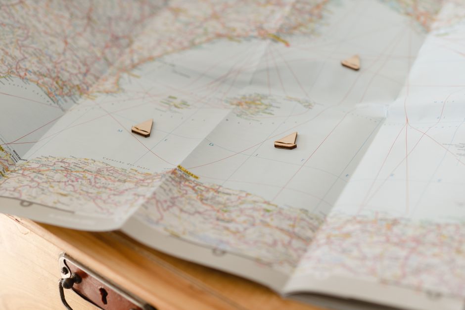
While digital tools are fantastic, there’s an undeniable charm and crucial reliability in an old-school paper map, especially when you’re truly diving deep into Ireland’s wild heart. A physical Ordnance Survey Ireland (OSI) Discovery Series map, at a 1:50,000 scale, is an absolute must-have for hiking in national parks or exploring those wonderfully remote areas where digital maps might just give up the ghost. You can grab one for approximately €10-€12 per sheet, a small price for invaluable peace of mind.
Beyond the signal-free zones, these maps also offer a truer depiction of Ireland’s unique road network. Be aware that many rural roads, affectionately known as boreens, are incredibly narrow and often not accurately depicted on all digital maps regarding their width or passing points. Drive cautiously, embrace the local custom of pulling over for oncoming traffic, and let your trusty paper map guide you through the most authentic corners of the Emerald Isle.