
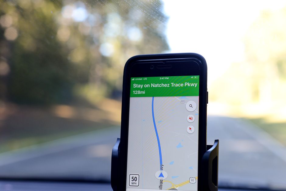
Your Ultimate Guide to Navigating the USA Like a Pro
Get ready to conquer the vast and vibrant landscapes of the USA, because with the right USA travel maps, every journey transforms into an unforgettable adventure! From the sun-drenched beaches of California to the bustling streets of New York, having a solid navigation plan is your golden ticket to seamless exploration. We’re talking about more than just getting from point A to B; it’s about discovering those hidden gems and savoring every moment of your epic American road trip.
Imagine cruising down iconic highways, knowing exactly where the next charming diner or breathtaking viewpoint awaits you. This guide is designed to empower you with all the insider knowledge, ensuring your travels are smooth, stress-free, and packed with incredible memories. Let’s dive into making your next USA escapade an absolute triumph!

Offline Adventures: Unlocking Maps Without a Signal Across the USA
Don’t let spotty cell service in remote areas, especially within our stunning national parks, put a damper on your wanderlust! One of the most brilliant hacks for your USA travel maps is downloading them for offline use. Google Maps, for instance, offers free offline map downloads for entire states or custom areas, saving you significant data and preventing those dreaded ‘no signal’ moments.
Before you even hit the road, make it a ritual to download offline maps for your entire route on Google Maps or Apple Maps, particularly when venturing into the majestic wilderness or rural areas where connectivity can be a mirage. For an even deeper dive into nature, download the official ‘National Park Service’ app and the specific park’s map within the app; many parks offer free Wi-Fi at visitor centers, making this a breeze.
This simple preparation ensures you’ll always have your bearings, whether you’re deep in the Grand Canyon or exploring the misty trails of the Great Smoky Mountains. It’s truly a game-changer for peace of mind and uninterrupted discovery.

Beat the Traffic & Find Hidden Gems: Smart Routing for Your USA Journey
Navigating bustling cities and winding backroads across the USA is a breeze when you leverage smart routing tools. Waze is your ultimate co-pilot for urban exploration, providing real-time, crowd-sourced traffic and hazard alerts that can save you precious hours stuck in gridlock; it’s incredibly efficient, consuming only about 0.7 MB per hour of navigation.
For a truly immersive experience, Apple Maps integrates seamlessly with CarPlay, offering detailed 3D city views and the incredible Look Around features in major US cities like San Francisco, New York, and Los Angeles, letting you virtually stroll before you arrive. If you want to expand your horizons beyond the interstates, utilize the ‘Avoid Highways’ or ‘Avoid Tolls’ options in Google Maps or Waze.
These clever settings can reveal charming small towns, picturesque routes, and local eateries you might otherwise miss, transforming your drive into an integral part of your adventure. Smart USA travel maps aren’t just about speed; they’re about enriching your entire journey.

Beyond the Pavement: Exploring USA’s Wild Side with Specialized GPS
When the asphalt ends and the wild calls your name, you need navigation that goes beyond standard road maps. For the intrepid hiker, mountain biker, or off-road enthusiast, specialized GPS apps are indispensable. Gaia GPS is a fan favorite, and a premium subscription, costing $39.99 per year, unlocks access to invaluable United States Geological Survey (USGS) topo maps and satellite imagery for robust offline use.
These detailed maps are crucial for understanding terrain, elevation changes, and finding trails that aren’t on typical road maps. For extensive backcountry travel or areas with absolutely zero cell service, consider a dedicated GPS device like a Garmin.
These rugged devices rely on satellite signals rather than cellular data, providing unwavering reliability when you’re truly off the grid and deep in the heart of America’s breathtaking wilderness.
Rental Car GPS & Other Handy Hacks for Seamless USA Road Trips
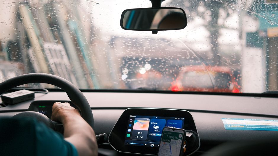
Picking up your rental car is just the start of your adventure, and ensuring you have reliable navigation from the get-go is key. Many rental cars in the USA, especially from major providers like Enterprise or Hertz, offer built-in GPS navigation systems for an additional daily fee, typically ranging from $10-$15 per day, and can often be pre-booked for convenience.
While your smartphone is powerful, a dedicated in-car system can offer peace of mind, especially if you prefer a larger screen or want to conserve your phone’s battery. Always double-check if your rental includes Apple CarPlay or Android Auto compatibility, as this allows you to seamlessly project your phone’s navigation apps onto the car’s display.
This blend of convenience and technology ensures you’ll always find your way, whether you’re cruising through a bustling city or exploring the scenic backroads of this incredible nation.