

Charting Your Course: Digital Wonders & Classic Paper Maps for Canada
Embarking on an adventure across Canada means preparing to explore a land of breathtaking scale and diverse landscapes. To truly unlock every hidden gem, you need the right navigation tools, and that’s where the magic of both cutting-edge digital and time-honored paper Canada travel maps comes in. Imagine yourself cruising through the Rockies or discovering a charming coastal town; having a reliable guide is paramount. While apps like Google Maps and Apple Maps offer incredible real-time insights, don’t underestimate the comfort and reliability of a physical map, especially when planning extensive road trips. For instance, a detailed provincial road map from CAA (Canadian Automobile Association) is a fantastic resource, typically costing CAD 10-15 for non-members, but often free if you’re a member, making it a smart investment for any serious explorer.

Lost Without Signal? Offline Map Hacks for Canada’s Wilderness
Venturing into Canada’s vast wilderness, from the majestic Canadian Rockies to the serene expanses of Northern Ontario or rural Quebec, means you’ll inevitably encounter areas with no cellular service. This is precisely why downloading offline maps is not just a good idea, it’s an absolute game-changer for your safety and peace of mind. You can easily pre-download entire regions using Google Maps or Apple Maps; for a major city like Toronto, a download is approximately 150-250 MB, while an entire province like British Columbia might be 1-2 GB, so plan your storage accordingly. For all you hiking enthusiasts, make sure to grab the AllTrails app and download its offline maps for specific trails, as many popular routes in national and provincial parks boast incredibly detailed user-contributed data that will keep you on the right path.
Your Explorer’s Toolkit: Must-Have Apps & Resources for Canada
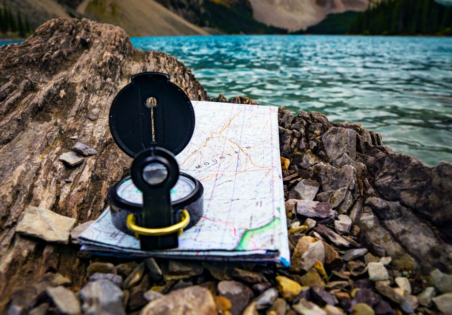
To truly master your Canadian journey, you’ll want a robust explorer’s toolkit filled with essential apps and resources that go beyond basic navigation. Beyond the reliable Google Maps and Apple Maps for general directions, consider specialized tools that enhance your experience. For instance, the innovative ‘What3words’ app is increasingly used for precise location sharing in remote Canadian areas, dividing the world into 3-meter squares with unique three-word addresses, which can be a lifesaver in an emergency or when meeting up in an unmarked spot. And for those planning to immerse themselves in Canada’s stunning natural beauty, remember that Parks Canada provides free, detailed paper maps at visitor centers for all national parks, like Banff, Jasper, and Pacific Rim, upon entry or request. Always carry a physical road map, especially when venturing outside major urban centers, as a reliable backup in case of phone battery drain or lack of signal – it’s a non-negotiable for any savvy traveler.

Navigating on a Dime: Where to Score Free Maps Across Canada
Who doesn’t love a good deal, especially when it comes to essential travel resources? You’ll be thrilled to know that scoring free Canada travel maps is easier than you think, helping you save your budget for those delicious local treats. As you explore Canada’s iconic national parks, remember that Parks Canada is your go-to for complimentary, detailed paper maps available at all visitor centers – just ask when you arrive at gems like Banff or Jasper. If you’re planning extensive road trips, seriously consider a CAA (Canadian Automobile Association) membership; while their detailed provincial road maps typically cost CAD 10-15 for non-members, they are often free for members, offering incredible value not just in maps but also in roadside assistance, which can be invaluable in remote areas.

Staying on Track: GPS Secrets & Data-Saving Tips for Canada
Keeping your navigation precise and your data plan intact is key to a stress-free Canadian adventure. You’ll be pleased to know that standard GPS accuracy in open areas across Canada is generally within 3-5 meters, even in remote regions, thanks to robust satellite coverage, so you can trust your device to guide you accurately. However, active navigation using apps like Google Maps does consume data, typically around 5-10 MB per hour of driving. The savvy traveler’s secret? Pre-downloading your maps! This dramatically reduces data usage, allowing you to save those precious megabytes for sharing breathtaking photos. And as a final, golden rule, always carry a physical road map as a reliable backup; it’s your ultimate safeguard against unexpected tech glitches or signal drop-offs, ensuring you’re never truly lost.