

Staying Connected: Your Digital Map Lifeline in Peru
Embarking on your Peruvian adventure means staying connected, and a local SIM card is your ultimate digital map lifeline. Imagine effortlessly navigating ancient streets or bustling markets, all thanks to reliable mobile data right in your pocket. You can easily snag a 10GB prepaid SIM card from Claro or Movistar Perú for approximately 30-40 PEN, which is about 8-11 USD, and it’s valid for a generous 30 days.
These essential SIMs are readily available the moment you land at Jorge Chávez International Airport (LIM) or in any major city, ensuring you’re connected from the get-go. While Bitel is another option, Claro and Movistar generally offer wider coverage, especially as you venture beyond the urban sprawl. Remember, for those breathtaking treks into the Andes or deep into the Amazon, always download offline Peru travel maps beforehand, as mobile data can be delightfully sporadic in these remote, untouched havens.

Unlocking Peru’s Secrets: Best Digital Maps for Every Journey
When it comes to digital navigation, you’ll want the best tools to truly unlock Peru’s secrets. For bustling cityscapes like Lima, Cusco, and Arequipa, Google Maps is your trusty companion, offering incredibly reliable navigation, even detailing public transport routes for Lima’s Metropolitano bus system and Metro de Lima Line 1.
However, for those intrepid trekking routes and remote, awe-inspiring areas such as the legendary Inca Trail or the dramatic Colca Canyon, Maps.me (MAPS.ME) becomes absolutely essential. Its detailed offline maps often reveal hidden trails and pathways that even Google Maps might miss, making it a must-have for your Peru travel maps toolkit. While Waze is fantastic for real-time traffic updates in major cities, Maps.me is your go-to for off-the-beaten-path exploration.

Navigating Lima’s Buzz: Apps for Public Transport Pros
Diving into Lima’s vibrant energy means mastering its public transport, and thankfully, there are some fantastic apps to make you a pro. For the efficient Metropolitano de Lima bus system, the ‘Tu Ruta’ app is a game-changer, providing real-time tracking, showing you exact arrival times and crucial station information so you’re never left guessing.
While the Metro de Lima Line 1 is straightforward, for other local transport like ride-hailing services, always exercise smart caution. When using apps like Uber or Cabify in Lima, confirm your driver’s name and license plate before hopping in, and sharing your trip details with a trusted contact is always a brilliant idea for peace of mind.
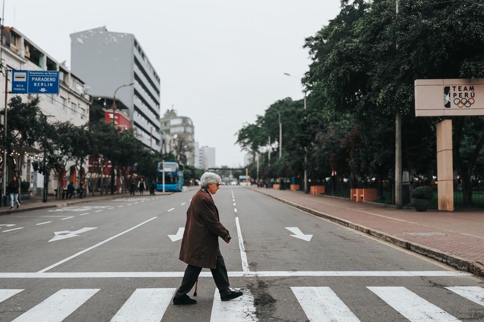
Beyond the Screen: Why Offline & Physical Maps Still Rule in Peru
Even in our hyper-connected world, there’s an undeniable charm and practicality to going beyond the screen, especially when exploring Peru’s diverse landscapes. Always remember to download offline maps for any region you plan to visit, particularly if you’re venturing into the majestic Andes or the lush Amazon, where mobile data can be as elusive as a jungle cat.
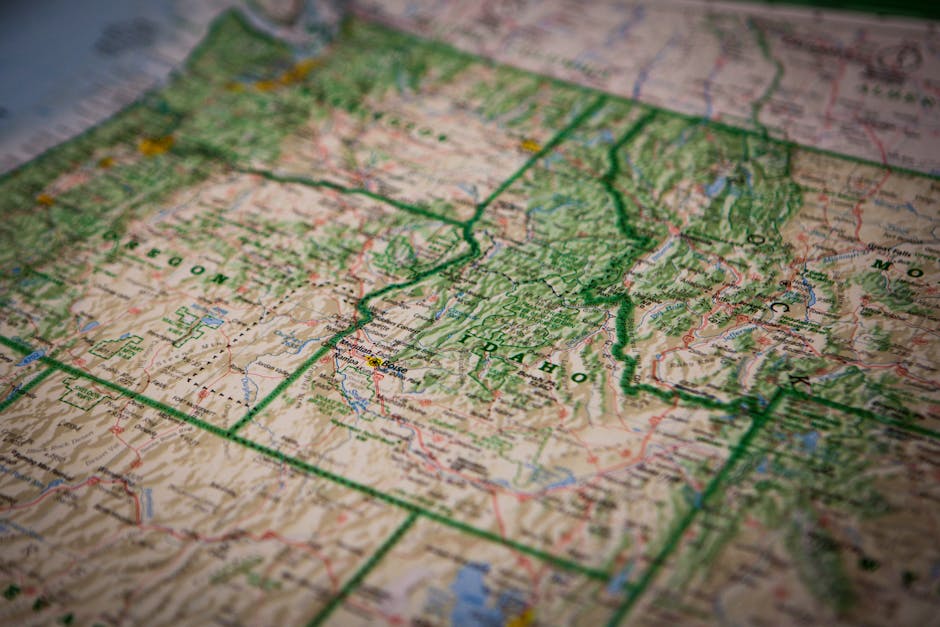
For those epic road trips, a physical, detailed road map of Peru is an absolute treasure. You can pick up excellent ones, like those published by Touring y Automóvil Club del Perú, for about 25-40 PEN (7-11 USD) at bookstores or gas stations. These robust Peru travel maps are invaluable for long-distance driving, offering a tangible sense of your journey and a reliable backup when your battery decides to call it a day.
Local Wisdom: Insider Tips for Seamless Peruvian Navigation
To truly navigate Peru like a local, you’ll want to tap into some insider wisdom that goes beyond any app. When you’re ready to experience the authentic hustle of local ‘combis’ (shared vans) or ‘colectivos’ (shared taxis), don’t be shy; simply ask locals for the route or destination name by saying ‘¿A dónde va?’ as these vehicles often lack clear signage or fixed stops.
This direct approach is the best way to ensure you’re heading in the right direction and immersing yourself in the local rhythm. Plus, in vibrant tourist hubs like Cusco, many hotels and tour operators generously provide free, basic city maps. While these are fantastic for quick orientation, remember they’re less detailed than your digital companions or those robust purchased maps, so use them as a helpful starting point for your daily explorations.