
Your Digital Navigator: Apps to Master the Bahamian Isles
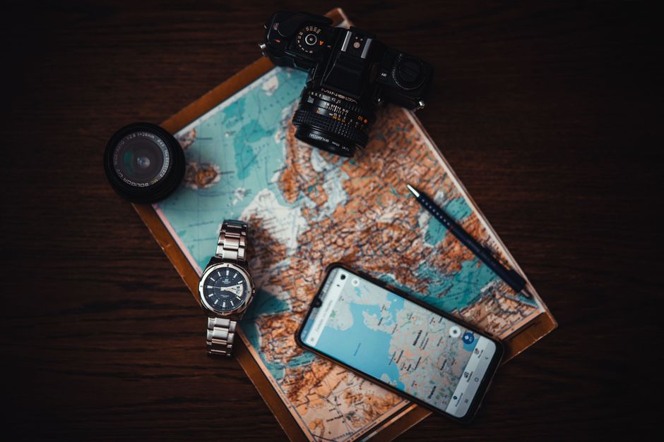
Embarking on your Bahamian adventure means having the right tools at your fingertips, and when it comes to navigating these stunning islands, digital maps are your best friend! You’ll absolutely love the freedom that apps like Maps.me provide, allowing you to download comprehensive offline maps for all the major Bahamian islands, from bustling Nassau to serene Exuma, ensuring you’re never lost, even without an internet connection.
For even more flexibility, Google Maps lets you download specific areas like Nassau or Freeport for offline use, which is crucial for those moments when mobile data might be a bit spotty, especially on smaller cays or secluded beaches. Remember this insider tip: always download these essential Bahamas travel maps for your intended islands BEFORE you arrive, so you can hit the ground running! While standard GPS accuracy in the Bahamas is generally within 5-10 meters, be aware that dense foliage or the charmingly narrow urban streets in downtown Nassau can occasionally affect precision, adding to the adventure.

Staying Connected: Data Hacks for Seamless Bahamian Adventures
To truly unlock the full potential of your digital Bahamas travel maps and stay connected with loved ones, securing a reliable data plan is a game-changer for your island exploration. You’ll find that a 7-day visitor data plan from BTC (Bahamas Telecommunications Company) typically costs around $25-$30 USD for 5GB, which is absolutely essential for reliable online map access and sharing your sun-drenched moments.
This investment ensures you can effortlessly search for that perfect conch stand, check real-time traffic in Nassau, or simply keep your social feeds updated with those envy-inducing turquoise water photos. While BTC is a popular choice, you might also explore options with Aliv to find the best fit for your connectivity needs across the archipelago.

Beyond the Screen: Unearthing Old-School Maps in the Bahamas
While digital tools are incredibly convenient, there’s a certain charm and undeniable reliability in holding a physical map in your hands, especially when exploring new terrain. You can easily pick up detailed physical road maps for key islands like Nassau and Grand Bahama at local bookstores or souvenir shops for approximately $10-$15 USD, offering a fantastic tangible guide to your journey.
These traditional Bahamas travel maps are perfect for marking your favorite hidden beaches or planning your scenic drives, and they serve as a wonderful keepsake from your trip. Don’t underestimate the joy of unfolding a crisp map and tracing your route, a delightful contrast to the glowing screen of your phone.
Island Hopping by Sea: Charting Your Course Through Bahamian Waters
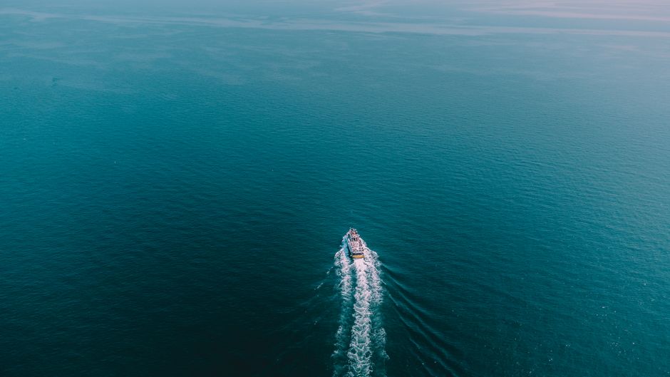
If your Bahamian dreams involve sailing between the dazzling cays, you’ll need specialized navigation to safely explore the turquoise expanse. For marine navigation, the Navionics Boating app is an absolute must-have, offering comprehensive charts for the entire Caribbean & South America region with an annual subscription starting at a very reasonable $14.99 USD.
This app provides invaluable detail for charting your course through the intricate Bahamian waters. Here’s a critical insider tip: if you’re planning inter-island travel by private boat, invest in a Navionics subscription or carry up-to-date paper charts; relying solely on basic phone GPS for open water is risky due to the numerous shallow areas and coral heads that demand expert navigation.

The Ultimate Compass: How Local Wisdom Guides Your Bahamian Journey
Beyond all the apps and paper charts, your most invaluable navigation tool in the Bahamas will undoubtedly be the warm and welcoming local people. Bahamians are incredibly friendly and genuinely love to help, often providing the most current and accurate directions, especially for finding those truly hidden gems or avoiding unexpected traffic in Nassau.
Don’t hesitate to strike up a conversation and ask for guidance; their insider knowledge can lead you to the freshest conch salad, the most secluded beach, or the liveliest local fish fry. Their insights offer a unique, human-powered navigation system that no digital map can ever fully replicate, enriching your journey with authentic connections and unforgettable discoveries.