
Your Digital Navigator: Staying Connected on Croatian Roads
Imagine cruising along the dazzling Adriatic coast, the sun warming your skin, and the scent of pine filling the air – you’ll want seamless navigation to guide your way! For your ultimate Croatia travel maps and navigation experience, a reliable digital connection is your best friend. Grabbing a local SIM card from providers like A1 Hrvatska or Hrvatski Telekom is a brilliant move; a 10 GB data package, valid for 7-15 days, typically costs a mere 10-15 EUR, giving you all the data you need to explore freely.
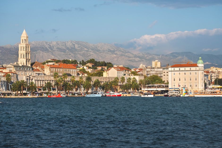
When you’re weaving through ancient city streets, apps like Google Maps and Waze become indispensable. While Waze often shines with real-time traffic updates and road closures, especially on those charmingly narrow, winding village roads, Google Maps offers superior street views and walking directions, perfect for discovering hidden gems. For instance, knowing the exact GPS coordinates for the main entrance to Diocletian’s Palace in Split, 43.5084° N, 16.4396° E, ensures you’ll effortlessly find your way into that magnificent historical heart.
Don’t forget to keep an eye on your data usage, but with such affordable local options, you can truly immerse yourself without worrying about getting lost. These digital tools transform your journey, making every turn an exciting discovery rather than a stressful detour, ensuring your Croatian adventure unfolds exactly as you dreamed.

Beyond the Beaten Path: Offline Maps for Croatian Adventures
While staying connected is fantastic, sometimes your Croatian adventure will lead you to breathtaking spots where mobile data coverage might play hide-and-seek. This is where offline Croatia travel maps and navigation truly shine! Before you even land, make it a ritual to download offline maps for the entire country using apps like Maps.me or Google Maps’ offline feature.
Maps.me, for example, offers incredibly detailed street layouts and even hiking trails, and downloading Croatia’s map is usually a one-time affair, around 300-400 MB. This small preparation is a massive game-changer, especially when you’re venturing into more remote, stunning regions like the Pelješac Peninsula or the enchanting islands of Vis and Lastovo, where mobile signals can be as elusive as a mermaid.
Having these maps pre-loaded means you can confidently navigate through every charming village, find that secluded beach, or trek through a national park without a single bar of service. It’s about empowering your exploration, giving you the freedom to chase every sunset and discover every hidden cove, knowing your path is always clear.
The Old-School Charm: Why a Paper Map is Still Your Best Friend in Croatia
In our increasingly digital world, there’s an undeniable romance and practicality in unfolding a crisp, physical map. For your Croatia travel maps and navigation, a high-quality paper map is not just a backup; it’s an essential tool that offers a unique perspective and reliability that no app can fully replicate. Imagine spreading out a Freytag & Berndt map, tracing your route with your finger, and seeing the entire region at a glance – it’s an experience in itself!
These beautifully detailed maps, often available for around 12-15 EUR, are easily found at gas stations, bookstores, or even larger kiosks across Croatia. They provide an invaluable overview, helping you grasp the geography of a region and plan multi-day excursions in a way that endless scrolling on a small screen simply can’t match. Plus, they never run out of battery, a true blessing when you’re deep in the countryside.
Beyond their practical use, a physical map becomes a cherished souvenir, marked with your journey’s highlights and discoveries. It’s a tangible reminder of every winding road, every coastal drive, and every charming town you explored, offering a deeper connection to your Croatian adventure long after you’ve returned home.
Unlocking Croatia’s Wild Beauty: Specialized Maps for Parks & Trails
Croatia’s wild heart beats strongest in its national parks and pristine natural landscapes, inviting you to hike, explore, and breathe in the pure air. To truly unlock these treasures, general navigation apps simply won’t cut it for your Croatia travel maps and navigation needs. You’ll want specialized maps that dive deep into the intricate network of trails and natural wonders.
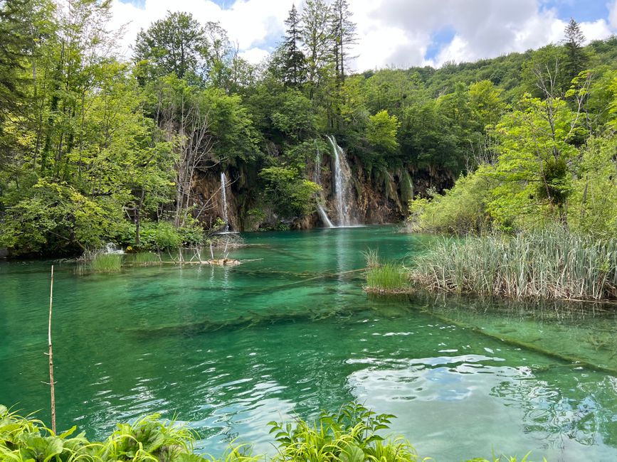
Official national park maps for gems like Plitvice Lakes or Krka are readily available at park entrances, typically for a small fee of 2-5 EUR. These aren’t just pretty pictures; they are packed with crucial, detailed trail information, elevation profiles, and points of interest that are often completely missing from broader navigation apps. For serious hikers, especially in challenging terrains like Paklenica or Risnjak, purchasing specific hiking maps at park entrances or local tourist offices is non-negotiable.
These specialized maps ensure your safety and enhance your exploration, guiding you along the most scenic routes and helping you discover hidden waterfalls, ancient ruins, or breathtaking viewpoints. They are your key to confidently immersing yourself in Croatia’s most stunning natural beauty, transforming a simple walk into an unforgettable wilderness journey.
City Savvy: Mastering Public Transport in Croatia’s Urban Hubs
Navigating Croatia’s vibrant cities is an exciting part of your journey, and mastering public transport is your ticket to seamless urban exploration. Forget the hassle of parking or deciphering complex routes; with the right tools, you’ll glide through Zagreb, Split, and Dubrovnik like a local. While general map apps can give you a basic idea, for true city savvy, you need dedicated resources.
In Zagreb, for instance, the official ZET app or Moovit are your absolute go-to for real-time bus and tram schedules and routes. These apps are far more reliable than generic navigation tools, providing up-to-the-minute information that ensures you never miss your connection or waste precious sightseeing time waiting. They make understanding the city’s pulse incredibly easy, connecting you to every museum, market, and charming cafe.
Embrace the local rhythm and let these specialized public transport apps guide you. You’ll save money, reduce stress, and gain a more authentic feel for Croatian urban life, leaving you more time to savor that aromatic coffee or indulge in some crispy local pastries.