
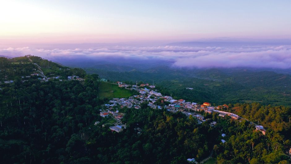
Your Digital Navigator: Top Apps to Guide Your Dominican Adventure
Ready to dive headfirst into the vibrant heart of the Dominican Republic? Your smartphone is about to become your ultimate co-pilot, and for truly seamless exploration, Google Maps is your most reliable digital navigation tool. It offers incredibly detailed street views for bustling cities like Santo Domingo and Santiago, ensuring you can confidently weave through their lively streets and find every hidden gem.
But when you’re craving real-time updates and want to outsmart traffic, especially within the dynamic urban landscapes of Santo Domingo and Santiago, Waze becomes your best friend. Its crowd-sourced data is a game-changer, often pinpointing police checkpoints or unexpected road hazards long before you encounter them, making your journey smoother and stress-free.
Here’s an insider tip that will save your adventure: always download offline maps for the entire Dominican Republic via Google Maps before you even pack your bags! This is absolutely essential for navigating areas with patchy mobile data coverage from providers like Claro or Altice, especially when you’re venturing into the breathtaking interior or along less developed coastlines. Trust me, having your Dominican Republic navigation map ready offline means uninterrupted discovery.
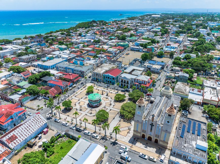
Smooth Sailing: Conquering the Dominican Republic’s Main Highways
Imagine gliding effortlessly from one stunning destination to another – that’s the promise of the Dominican Republic’s main highways! A prime example is the magnificent Autopista del Coral (Route 3), a beautifully maintained toll road that whisks you from the historic charm of Santo Domingo to the sizzling beaches of Punta Cana in approximately 2.5 hours, covering a comfortable 190 km.
These major arteries are generally well-kept, a testament to the dedication of entities like the Ministerio de Obras Públicas y Comunicaciones (MOPC), making your long-distance drives a true pleasure. This is where your digital Dominican Republic navigation map truly shines, guiding you with precision across the island’s most important routes.
When you’re picking up your rental car, make sure to confirm that your agreement includes a reliable GPS device, or that your smartphone’s data plan is robust enough for continuous online navigation. While the main highways are clear, physical road signs can sometimes be inconsistent once you venture off the most beaten paths, so a digital guide is invaluable.

Lost Without a Signal? Offline Map Hacks for the Dominican Republic
Ever found yourself chasing a breathtaking vista, only for your phone signal to vanish into thin air? It’s a common traveler’s dilemma, but with a clever hack, you’ll never be truly lost in the Dominican Republic. Offline maps are your absolute lifeline outside urban centers, ensuring your adventure continues uninterrupted, even when the digital world takes a break.
The secret? Downloading entire regions via Google Maps before you depart! This simple yet powerful step guarantees you’ll have full navigation capabilities even in areas with limited mobile data coverage from Claro or Altice. Think about those stunning, remote corners of the Samaná Peninsula or the rugged beauty of the Barahona region – your offline map will be your steadfast guide.
Seriously, make it a pre-trip ritual: always download offline maps for the entire Dominican Republic. This isn’t just a suggestion; it’s essential for navigating those less-traveled roads and discovering hidden waterfalls or secluded beaches without a moment of panic. Your Dominican Republic navigation map, cached and ready, is the key to unlocking true freedom on the road.

Beyond the Pavement: Taming the Dominican Republic’s Rustic Routes
Ready to truly explore the Dominican Republic’s wild heart? Sometimes the most incredible adventures lie just beyond the smooth asphalt, down what locals call “caminos vecinales.” These charming, often unpaved rural roads lead to some of the most secluded beaches, pristine eco-tourism sites, and authentic local experiences you could ever dream of.
It’s important to know that many of these rustic routes may not be accurately depicted on standard digital maps, presenting a delightful challenge for the intrepid explorer. Often, a sturdy 4×4 vehicle becomes your trusty steed, perfectly equipped to handle the varied terrain and ensure you reach those breathtaking, off-the-grid destinations.
Here’s a crucial insider tip for these journeys: always be prepared for unpaved sections, even on routes that might appear as main roads on older maps. Before you set off, cross-reference your route with recent satellite imagery or, even better, chat with friendly locals for the most current road conditions. This proactive approach will save you from any unexpected bumps, especially if you’re in a standard sedan dreaming of a remote paradise.

Road Trip Ready: Essential Tips for Driving in the Dominican Republic
Embarking on a Dominican road trip is an exhilarating way to experience the island’s diverse beauty, from sun-drenched coastlines to lush mountainscapes! To ensure your journey is as smooth as a Caribbean breeze, always have your digital toolkit ready: download those Google Maps offline for your Dominican Republic navigation map, especially when venturing into areas where signal might play hide-and-seek.
When navigating the vibrant energy of cities like Santo Domingo, Waze is your secret weapon for a stress-free experience. Its real-time alerts on traffic jams and unexpected detours are invaluable, helping you glide through the urban hustle and get to your next delicious meal or historic site without a hitch.
Finally, be prepared for a mix of road conditions. While main highways are fantastic, many rural roads leading to those truly magical, secluded spots are unpaved. If you’re dreaming of off-the-beaten-path adventures, consider renting a 4×4. And always, always, a quick chat with a local about current road conditions can be more reliable than any map for those truly rustic routes. Drive safe and soak it all in!