
Your Pocket Navigator: Mastering Malta’s Tallinja App
Ready to unlock the secrets of Malta’s vibrant public transport system? Your ultimate companion is the indispensable Tallinja App, available on both iOS and Android, offering real-time bus tracking and seamless journey planning right at your fingertips. Trust me, downloading this before you even land is an insider tip that will save you precious exploration time, especially during peak season or when navigating complex connections.
This brilliant app is your go-to for all things bus-related, helping you avoid long waits and ensuring you’re always on schedule for your next adventure. For extensive island hopping across both Malta and Gozo, consider snagging a 7-day ExplorePlus card; for just €21.00, you’ll enjoy unlimited bus travel, making your Malta travel maps and navigation a breeze and incredibly budget-friendly.
Beyond the app, the official Malta Public Transport website, tallinja.com, is a treasure trove of information, featuring a comprehensive route planner and downloadable bus network maps in PDF format. With these resources, you’re not just a visitor; you’re a savvy explorer, ready to conquer every corner of this sun-drenched archipelago.

Beyond the Bus Stop: Essential Map Hacks for Malta & Gozo
While the Tallinja App is a superstar for buses, expanding your map arsenal is key for truly seamless Malta travel maps and navigation. Google Maps proves to be an incredibly reliable ally, providing accurate public transport routing by integrating real-time data directly from the Tallinja network, giving you precise arrival times and peace of mind.
However, here’s a pro tip that seasoned travelers swear by: always download offline maps for both Malta and Gozo, perhaps through Google Maps or Maps.me. Mobile data can be surprisingly inconsistent, especially when you venture into the charmingly remote areas, deep within ancient, thick-walled historical sites, or exploring the rugged beauty of Gozo and Comino.
Having your maps ready offline means you’ll never miss a beat, whether you’re searching for a hidden gem in a quiet village or navigating the winding streets of a bustling town. This simple hack ensures your exploration remains uninterrupted, allowing you to focus on soaking in every incredible moment.

Conquering Valletta’s Hills & Island Trails with Smart Maps
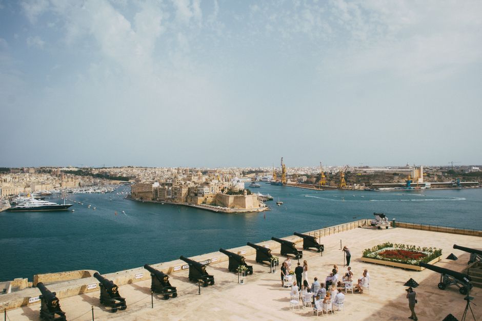
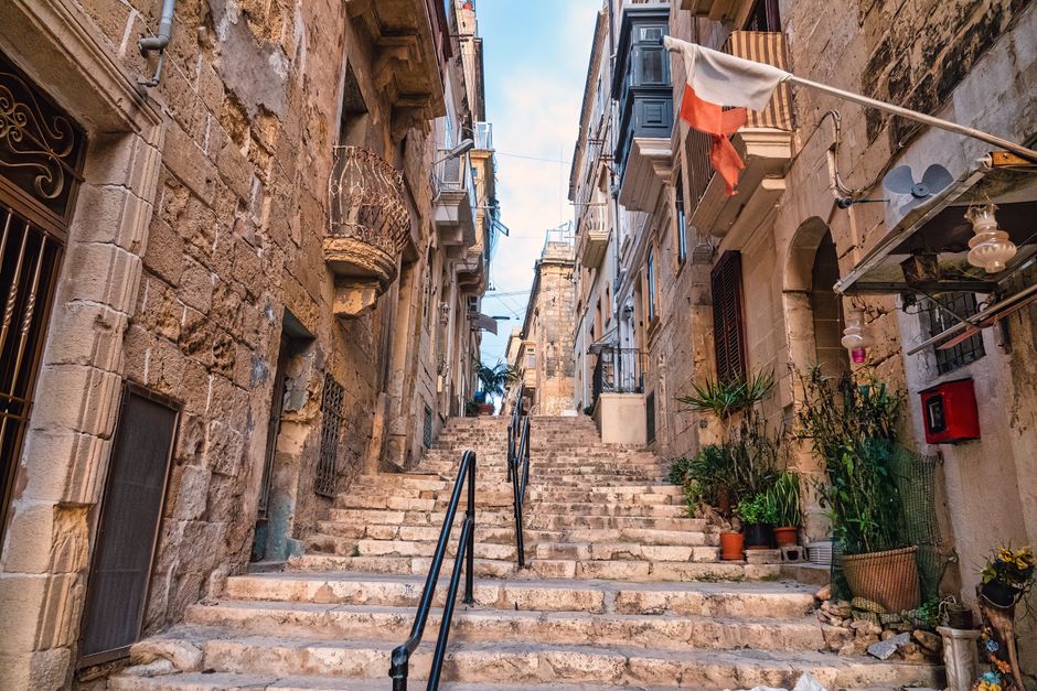
Valletta, with its magnificent architecture and breathtaking harbor views, is an absolute must-see, but be prepared for its charmingly steep hills and numerous staircases. Smart map apps like Google Maps are invaluable here, as they can actually show you elevation changes, helping you plan less strenuous routes via flatter streets if you prefer to conserve your energy for sightseeing.
When you’re ready to embrace the wilder side of the islands, especially for hiking trails on Gozo and Comino, those offline maps become your absolute best friend. Mobile data coverage can be notoriously spotty in these remote, rugged areas, and you definitely don’t want to get lost while chasing that perfect panoramic view.
Downloading your maps in advance ensures you can confidently explore every hidden cove, ancient ruin, and dramatic cliffside path without a hitch. It’s all about empowering your adventure and making sure you can fully immerse yourself in Malta’s stunning natural beauty.
Seamless Journeys: Mapping Your Way Through Malta’s Connections
Arriving at Malta International Airport (MLA) and heading straight to the historic capital? A typical bus journey to Valletta on route X4 is incredibly efficient, taking approximately 25-35 minutes to cover about 8 km, whisking you right into the heart of the action. Your map apps will confirm this, making your arrival stress-free.
When planning your bus routes using any map app, keep in mind that many journeys across the island often require a transfer, commonly in Valletta or at Mater Dei Hospital. Planning for these connections is crucial to minimize waiting times and ensure your island-wide exploration flows as smoothly as a Mediterranean breeze.
Google Maps, with its real-time data integration from the Tallinja network, is particularly brilliant for this, offering precise arrival times and helping you orchestrate seamless transfers. With a little foresight and the right tools for Malta travel maps and navigation, you’ll be zipping around like a local, discovering every sun-drenched corner of this incredible destination.