
Your Offline Navigator: Conquering Montenegro’s Wild Side
Embarking on your Montenegrin adventure means embracing both its sun-drenched coastlines and its rugged, untamed interior, and for that, reliable navigation is your best friend. While Google Maps shines brightly for major roads and bustling cities, you’ll discover that offline maps are absolutely crucial for those breathtaking rural and mountainous escapades, where mobile signal can play hide-and-seek.
To truly unlock the magic of Montenegro, make it a priority to download offline maps via Maps.me or Google Maps’ convenient download feature before you even arrive. This savvy move is especially vital for those exhilarating coastal drives along the Bay of Kotor or when you venture deep into the majestic Dinaric Alps, ensuring your Montenegro travel maps and navigation are always at your fingertips, even when 4G coverage decides to take a break.
Imagine yourself winding through ancient villages or scaling a mountain pass without a hitch, all thanks to your foresight in preparing your digital toolkit. This simple step guarantees you can explore every hidden gem without a moment of worry, keeping your focus purely on the stunning vistas unfolding before you.

Stay Connected: Unlocking Montenegro’s Digital Highways
Staying connected is key to a seamless Montenegrin journey, especially when you crave real-time updates for your Montenegro travel maps and navigation. Grabbing a local prepaid SIM card from providers like Crnogorski Telekom or M:tel is a brilliant move, offering a generous 500GB of data for approximately 10-15 EUR, typically valid for 7-15 days.
This small investment ensures you’re always in the loop, whether you’re checking opening hours for a charming local eatery or finding the quickest route to a secluded beach. While digital is fantastic, don’t underestimate the comfort of a tangible backup; consider picking up a physical road map from a local bookstore or gas station upon arrival.
This traditional map becomes an invaluable companion, particularly if you’re planning extensive explorations of the national parks or dreaming of discovering those truly remote, untouched villages. It’s all about having options and ensuring your adventure is as smooth and stress-free as possible.

Epic Drives & Hidden Gems: Unveiling Montenegro’s Most Scenic Routes
Prepare yourself for some of the most spectacular drives you’ll ever experience, where every turn reveals a postcard-perfect view! The iconic P1 road, famously known as the Kotor Serpentine, is an absolute must-drive from Kotor to Njeguši and Cetinje.
This thrilling route boasts 25 exhilarating hairpin bends, demanding careful navigation but rewarding you with truly unforgettable panoramas of the Bay of Kotor that will steal your breath away. While Google Maps is generally helpful, be mindful that it might sometimes suggest smaller, single-lane roads in the mountains.
These charming routes often feature passing places, so always cross-reference with local conditions if possible to ensure a smooth journey. Embrace the adventure, but drive with awareness, and you’ll uncover Montenegro’s most captivating landscapes and hidden gems that few ever see.

Trailblazing Montenegro: Your Guide to Mountain Adventures
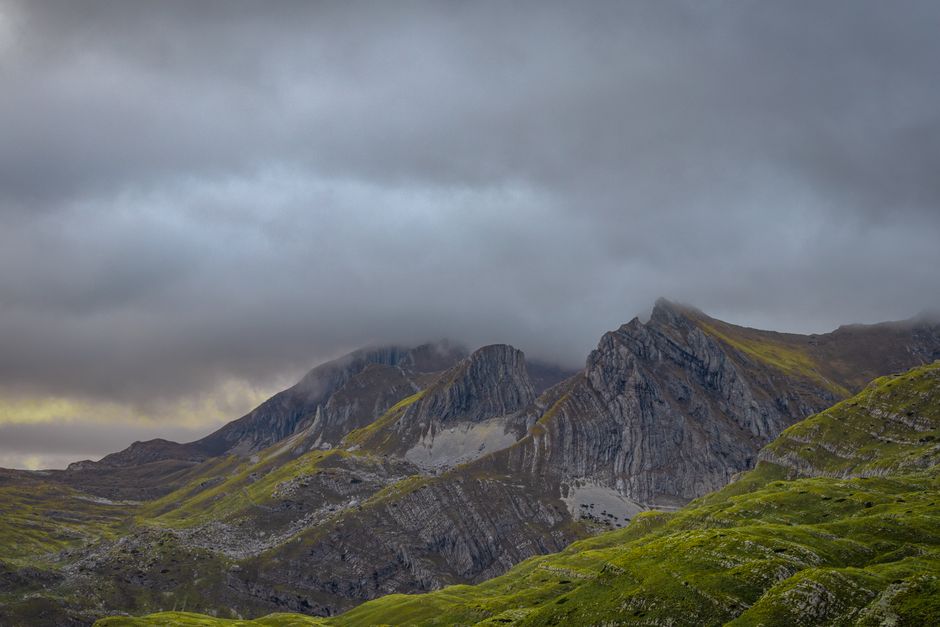
For those of you yearning to lace up your boots and conquer Montenegro’s majestic peaks, proper preparation for your mountain adventures is paramount. The rugged beauty of places like Durmitor National Park beckons with incredible hiking trails, but remember that mobile signal can be non-existent in these wilder realms.
This is where your smart planning truly shines: detailed offline maps from Maps.me or dedicated apps like AllTrails become your indispensable companions. Download your chosen routes beforehand, ensuring your Montenegro travel maps and navigation are robust enough to guide you safely through every ascent and descent.
Imagine yourself immersed in the crisp mountain air, surrounded by dramatic landscapes, with the confidence that your digital guide will lead you every step of the way. These tools are not just about finding your path; they’re about enhancing your safety and allowing you to fully savor the pristine wilderness.
Mastering Montenegro’s Roads: Signs, Parking & Local Wisdom
Navigating Montenegro’s roads is an exciting part of the journey, and a little local wisdom goes a long way. You’ll find that road signs are generally in Montenegrin, displayed in both Cyrillic and Latin script, which adds to the authentic local flavor.
Thankfully, major tourist routes often feature helpful English translations, making your Montenegro travel maps and navigation experience much smoother. When it comes to parking in popular cities like Budva or Kotor, be prepared for a bit of a challenge; street parking can be tricky, and fines are common if you’re not careful.
Your best bet is to look for official parking lots or even utilize local apps like ‘Parking Servis Budva’ if available, which can save you time and hassle. Embrace these local nuances, and you’ll master Montenegro’s roads like a seasoned explorer, leaving you free to soak in every incredible moment.