
Your Digital Compass: Top Apps for Exploring Norway
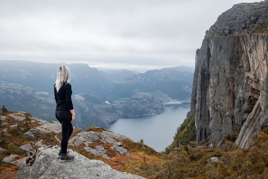
Imagine having the entire Norwegian wilderness, from its deepest fjords to its highest peaks, right at your fingertips! Your ultimate digital companion for navigating Norway’s stunning landscapes is the official Norgeskart app, proudly provided by Kartverket, the Norwegian Mapping Authority. This incredible, free resource offers highly detailed topographic maps, complete with intricate hiking trails and essential contour lines, available for both iOS and Android devices.
But wait, there’s more for the avid explorer! You absolutely need to download the UT.no app, a gem from Den Norske Turistforening (DNT), Norway’s premier trekking association. This app is a treasure trove, boasting over 20,000 marked hiking and skiing routes, details on cozy DNT cabins, and even real-time trail conditions, making it an indispensable tool for any outdoor enthusiast.
For the savviest adventurers, here’s an insider tip: while Google Maps is fantastic for general navigation, always cross-reference it with the Norgeskart app. You’ll gain superior topographical detail and spot those crucial, accurate trail markings that truly make a difference when you’re deep in Norway’s breathtaking backcountry.

The Enduring Charm of Paper: Where to Grab Your Norwegian Turkart
There’s something undeniably special about unfolding a crisp, physical map, tracing your finger along a planned route, and feeling that tangible connection to your adventure. For those iconic regions like the majestic Jotunheimen or the dramatic Lofoten Islands, a physical ‘Turkart’ – a dedicated hiking map – is an absolute must-have.
These beautifully detailed paper Norway hiking maps typically range from 150-250 NOK, a small investment for the peace of mind and immersive experience they offer. You can easily pick up your own Turkart at popular bookstores like Norli, where you’ll find a fantastic selection to fuel your wanderlust.
Alternatively, if you’re already stocking up on gear, head over to sports retailers such as XXL Sport & Villmark. They often carry a comprehensive range of these essential maps, ensuring you’re perfectly equipped for every twist and turn of your Norwegian escapade.
Signal Lost? How to Conquer Norway’s Wilds with Offline Maps
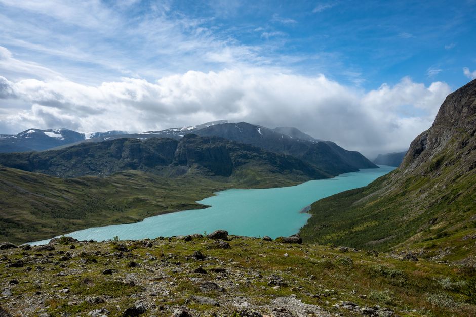
When you’re deep in Norway’s breathtaking fjords or scaling a majestic peak, mobile signal can vanish faster than a summer snowdrift. This is precisely why downloading offline maps, whether through Google Maps or the Norgeskart app, is your ultimate superpower for exploring Norway’s wild heart.
Mobile data coverage can be incredibly intermittent, or even non-existent, in many fjord areas, remote mountain passes, and stunning hiking regions. Always, and we mean always, download offline maps for your intended route before you venture into any rural or mountainous areas; it’s the golden rule for safe and stress-free exploration.
And here’s a crucial tip from a seasoned traveler: GPS navigation apps are battery-intensive, especially in Norway’s colder climates, and you certainly won’t find charging points on most trails. So, pack a portable power bank – it’s your lifeline to ensure your essential Norway hiking maps remain accessible throughout your unforgettable journey.

Beyond the Road: Mastering GPS for Norway’s Remote Adventures
For those truly off-the-beaten-path expeditions, where even the most detailed paper maps might feel general, precise GPS navigation becomes your best friend. Many remote trailheads and secluded mountain cabins in Norway are best navigated using exact WGS84 GPS coordinates, rather than just relying on a street address that might not even exist.
You’ll often find these vital coordinates listed on official Den Norske Turistforening (DNT) websites or local tourism portals, providing you with the pinpoint accuracy needed for seamless exploration. Inputting these into your GPS device or a reliable app ensures you’re always on the right track, even when the path is barely visible.
Embrace the power of GPS to unlock Norway’s most hidden gems, guiding you confidently through challenging terrain and straight to those breathtaking, secluded spots that few travelers ever discover. It’s about empowering you to explore further and deeper into the wild, untamed beauty of the Norwegian landscape.
Speak Like a Local: Essential Norwegian Map Terms to Know
Want to truly connect with the landscape and navigate like a seasoned local? Familiarizing yourself with basic Norwegian map terminology will not only enhance your understanding of the terrain but also make reading signs and maps a breeze. It’s like unlocking a secret code to the wilderness!
Keep an eye out for ‘fjell,’ which means mountain, guiding you towards those majestic peaks you’re eager to conquer. ‘Vatn’ denotes a lake, inviting you to discover serene waters, while ‘elv’ points to a river, often leading to spectacular views.
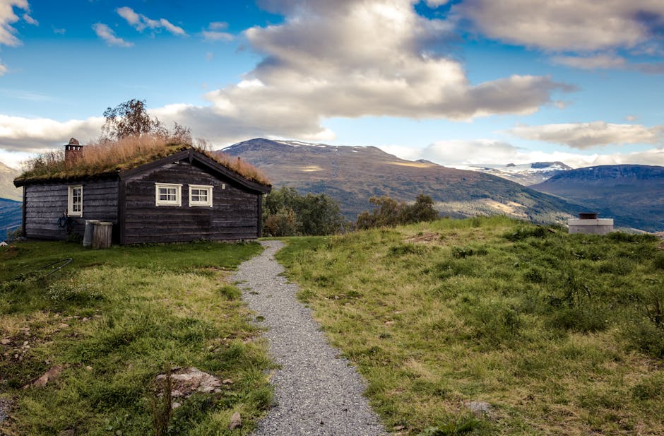
Don’t miss ‘foss,’ meaning waterfall – a term you’ll be thrilled to spot on your Norway hiking maps, promising a thundering spectacle of nature. And finally, ‘hytte’ refers to a cabin, your cozy refuge after a day of exhilarating exploration. Knowing these terms transforms your journey from a simple hike into a rich, cultural immersion!